If there is a paradise for paddlers it would be the state of Pennsylvania in the United States of America! All four corners of the state have parks and forests overflowing with streams, lakes, ponds, and rivers. These are spread all over its landscape and are ideal for canoeing, kayaking, and flat-bed boating. All of these waterways have scenic surroundings and abundant wildlife that paddlers can enjoy while they pass through. To ensure public safety, there are strict laws and regulations that paddlers should abide by, depending on the state park and forest district. So paddlers have a secure and safe journey through these waterways, it is best to be acquainted with these top places for kayaking in Pennsylvania, USA. We listed them below, so check them out and include them on your itinerary!
1. Schuylkill River

The Schuylkill River headwaters flow down through eastern Pennsylvania, starting northwest near the Tuscarora, PA mountains and going southeast. It covers 137 miles (220.5 km), passing through the counties of Schuylkill, Montgomery, Berks, Philadelphia, and Chester, then converging with the Delaware River. The Schuylkill River Watershed is Pennsylvania’s most densely-populated region, with over 3.2 million people living, working, and playing within its 1.2 million-acre (485,622.8-hectare) zone.
The river water trail is a paddler’s dream destination, but people enjoy various water sports activities here. The river bottom is quite challenging, with its shallow and rocky terrain. Paddlers must check the water conditions before venturing out and abide by the rules when paddling around dams. In normal conditions, it takes around four hours to cover 4 miles (6.4 km).
Schuylkill River
Address: Tuscarora, Schuylkill County, Pennsylvania, United States
Website: Schuylkill River
2. Delaware River

The Delaware River, a main river on the US Atlantic coast, flows freely, covering an area of 14,119 miles (22,722.3 km) passing through 42 counties and 5 states, namely Pennsylvania, New York, New Jersey, Maryland, and Delaware. There are public areas here where canoeists can launch and paddle through the water trail while enjoying the picturesque scenery of the Nockamixon Cliffs and River Islands.
The water trail is an important migratory path for over 200 avian species, like songbirds, water birds, bald eagles, herons, and raptors. Canoeists can enjoy viewing the awesome wildlife that thrives on the water trail as they paddle through.
Delaware River
Address: Mount Jefferson, West Branch Delaware River
Website: Delaware River
3. Three Rivers Water Trail

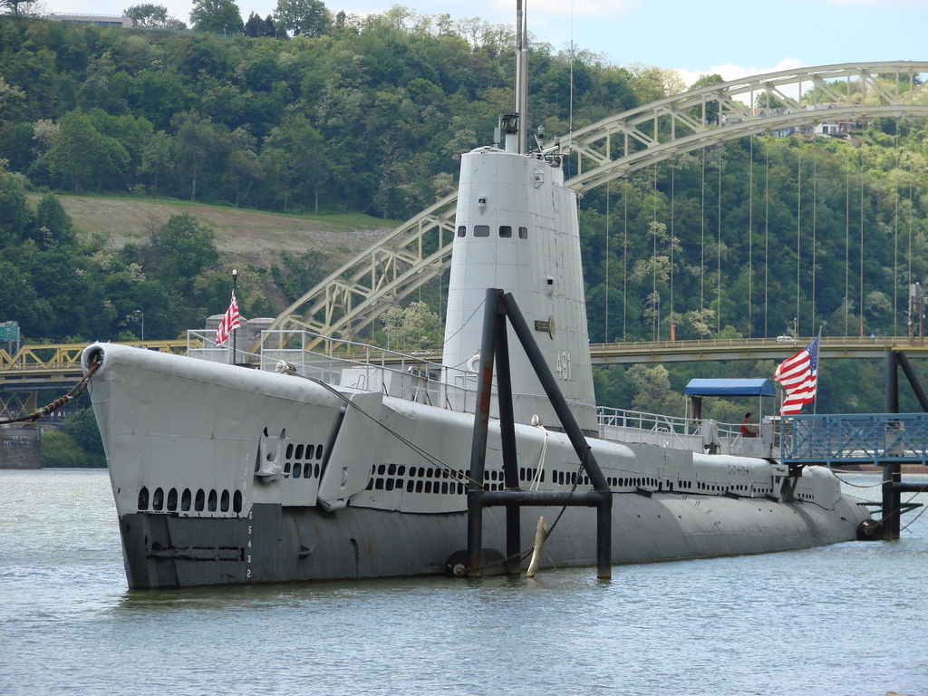
This inner-city water trail is a chain of public access points that stretches for 75 miles (120.7 km), connecting the 90 riverfront cities in the Allegheny County and Pittsburgh area. It includes three rivers, starting with the Allegheny River, and it connects to the Ohio and Monongahela Rivers. It is managed by the Friends of the Riverfront, who ensure the safety and care of these access points for canoe and kayak users.
Each landing has red paddle signs that provide paddlers with directions for both land and water, interpretive signs, kayak/canoe racks, and ramps. The water trail has several routes to choose from, passing by historic bridges, small towns, man-made systems, and other attractions.
Three Rivers Water Trail
Address: starts at the Allegheny River
Website: Three Rivers Water Trail
You might be interested in these Airbnbs!
4. Swatara Creek

Every springtime, one of the favored paddling destinations in southern Pennsylvania is Swatara Creek in the Swatara State Park. Public boat access to the creek is provided through the designated launches on both the north and south borders of the park. The scenic creek zigzags through the entire park and is enveloped by woods and marshlands, which are home to diverse wildlife.
The state park located in Swatara Valley is comprised of woodlands and rolling fields in the middle of the Blue and Second mountains. Though the park is open all days of the year, from sunrise to sunset, there are specific areas that are open during specific hours and seasons.
Swatara State Park
Address: 1450 Suedburg Road Pine Grove, PA 17963
Website: Swatara State Park
5. Slippery Rock Creek Gorge

Slippery Rock Creek Gorge, declared a National Natural Landmark in Pennsylvania, is part of McConnells Mill State Park and located in Lawrence County. The gorge, which measures 2,546 acres (1,030.3 hectares) in size, was formed by the draining of glacial lakes in a process that took thousands of years.
The valley floor of the gorge is filled with huge boulders and the sides are very steep. It has waterfalls and picturesque overlooks, which are part of its popular attractions. An ancient covered bridge constructed during the 1800s and a gristmill are highlights of this tour that visitors will see. The park is open every day from dusk until dawn, but the Old Mill has limited visiting hours. The facility is managed by the Moraine State Park office, so you will have to contact them for the park schedule.
Slippery Rock Creek Gorge
Address: McConnells Mill State Park, Lawrence County
Website: Slippery Rock Creek Gorge
6. Lehigh River

Declared a state-designated Scenic River, the Lehigh River Water Trail starts from White Haven and ends at Easton City, converging at the Delaware River. From Delaware, paddlers can head on to Philadelphia, past Delaware Bay. The water trail stretches for 115.9 km (72 miles) and is filled with a diverse array of wildlife and flora.
Wildlands Conservancy, the designated manager of the water trail, oversees all 10 counties of the Lehigh River Watershed and is Lehigh Valley’s primary nonprofit land trust. They provide the recreational and educational opportunities which support the continued protection of the Lehigh River and concentrate on wildlife and water quality improvement.
Lehigh River Water Trail
Address: Easton, Northhampton County, Pennsylvania, USA
Website: Lehigh River Water Trail
7. Allegheny River Water Trail

The Allegheny River has three parts. The upper end starts at a spring in a farmer’s field in Potter County, Pennsylvania. The river flows northward into New York and zigzags southwards back to Pennsylvania’s Allegheny Reservoir. The middle part is 107-miles (172.2-km) long and starts at Kinzua Dam and ends at Emlenton at the I-80 Bridge, upstream. The lower part, 300 miles (482.8 km) away from the starting point, converges with the Monongahela River in Point State Park in Pittsburgh, which creates the Ohio River.
Its scenic beauty, historical significance, diverse natural wildlife, and various recreational opportunities, earned the Allegheny River the “River of the Year” award in 2007 from the Pennsylvania Organization for Watersheds and Rivers. The river is 315-miles (506.9-km) long but only 86.6 miles (139.4 km) are protected and designated as recreational. It is managed and protected by the National Wild and Scenic Rivers Act, which helped the waterway recover from its industrial past. Outdoor enthusiasts can visit the waters with their canoes, kayaks, and powerboats, any day of the year.
Allegheny River Water Trail
Address: starts in Potter County, Pennsylvania, ends at the Ohio River
Website: Allegheny River Water Trail
8. Youghiogheny River

Youghiogheny River or the “Yough”, is a Monongahela River tributary which feeds into three US states, namely Pennsylvania, Maryland, and Virginia. Popular for rafting, kayaking, and whitewater canoeing, the river is 216-km (134-miles) long and divided into three sections of varying difficulty.
The Middle Yough, which starts from the confluence in Pennsylvania to Ohiopyle, is ideal for boating and fishing. Boaters consider the 25.8-km (16-mile) long and 0.8-km (0.5-mile) wide channels the best for waterskiing and powerboating. The dam has tail waters perfect for trout fishing, all year round.
Youghiogheny River
Address: McKeesport, Allegheny County, PA
Website: Youghiogheny River
9. Cook Forest State Park

In the scenic part of northwest Pennsylvania is the Cook Forest State Park, which spans 8,500 acres (3,439.8 hectares). It features the Forest Cathedral, an ancient forest filled with hemlock and tall white pines, declared a National Natural Landmark. The Clarion River, which flows through the park, has a land area of 3,136 acres (1,269.1 hectares) and measures 13-miles (20.9-km) long. Frequented by adrenaline junkies, it’s popular for water tubing, kayaking, and canoeing.
There are two scenic overlooks accessible to visitors. The Seneca Point Overlook are rock ledges with a view of the Clarion River Valley. The Historic Fire Tower #9 offers a breathtaking overview of up to 20 miles (32.2 km), after climbing 80 feet (24 meters) above the ground.
Cook Forest State Park Office
Address: 113 River Rd, Cooksburg, PA 16217, United States
Website: Cook Forest State Park Office
10. Clear Creek State Park

Clear Creek State Park in Jefferson County covers 1,901 acres (769.3 hectares) of land. It is 17.7 km (11 miles) away from the Cook Forest State Park and occupies a picturesque area in Clear Creek Valley, starting from PA 949 up to the Clarion River. Though it is open to the public any time of the year, there are certain areas, like the beach and overnight areas, that are accessible only during specific hours and seasons. Call the park office for a reservation or to check the schedules for availability.
The two scenic overlooks located on the Tadler Run Loop Trail are the seasonal attractions of the park. Nearby are the Beartown Rocks, another popular overlook. Remember that the area is full of wildlife, including black bears and feeding them is forbidden.
Clear Creek State Park
Address: 38 Clear Creek Park Road Sigel, PA 15860-6702
Website: Clear Creek State Park
Opening hours: Mon - Sat: 7am - 5pm (closed on Sun)
Put on your life jacket and paddle on!
The water trails of Pennsylvania are located in a variety of landscapes and come in varying degrees of difficulty that make them exciting for outdoor enthusiasts. You should follow Pennsylvania’s “Leave No Trace” code and whatever regulations there may be in the district where you will be paddling. Enjoy each unique water trail that reflects the diverse neighborhoods, ecosystems, and geology of Pennsylvania as you paddle on!
History
Get Trip101 in your inbox
Unsubscribe in one click. See our Privacy Policy for more information on how we use your data


Create an account to