

The charming town of Boulder is synonymous with ‘fun’ as it provides lots of opportunities to its residents and guests. The city lies practically in the lap of the Canadian Rockies, therefore gaining the title ‘a link between mountains and reality’. The city is located very close to Denver, just half an hour’s drive away. It possesses a typical laid-back charm, with a cheerful vibe. The city is also a foodie’s paradise, for housing natural food industry and some of the best restaurants in the region. The city is not only a paradise for the foodies, but it is also popular amongst adventure-lovers. Sun shines in this city for more than 300 days in a year, beckoning everyone to spend lots of time outdoors. If you are an outdoor person, there are open spaces all around you to enjoy the sunshine, fresh air, and awesome views. The city and its surrounding areas have a number of hiking and biking trails. It also has more than 150 miles (241 km) of hiking trails through national parks, and the Green Mountain. Check out some of the best hiking and trekking spots in Boulder, Colorado, for an adventurous holiday.
1. Wonderland Lake Loop Trail
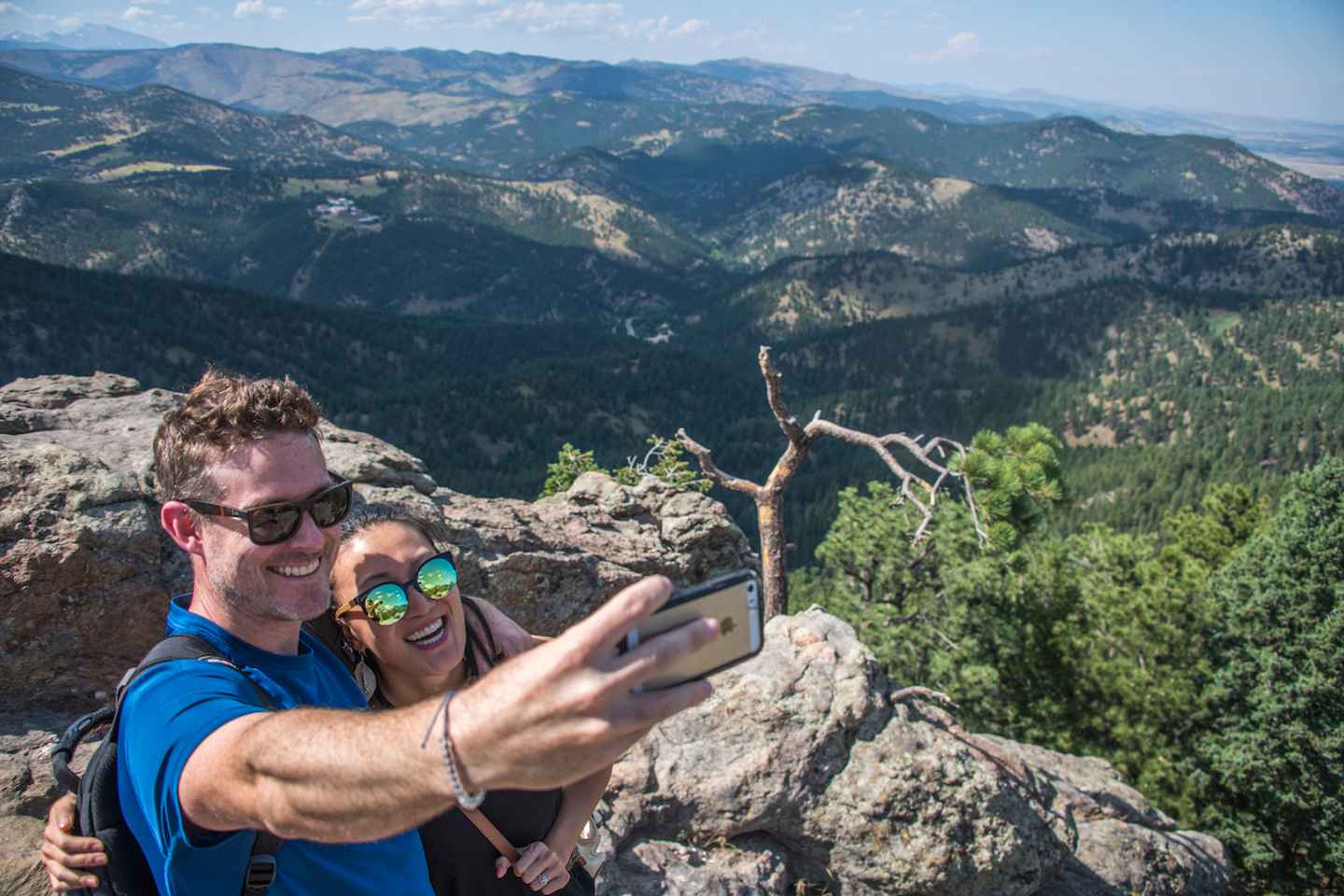
Posted by Warut Klayaubol on Saturday, 7 December 2019
Technically an easier trail, it is spread along the scenic Wonderland Lake. The trail is around 2.73 km (1.7 mi) long, starting from the north of Boulder. The trail is suitable for all skill levels. The best time for hiking through this trail is April to October. You can also bring your dogs along, but they are to be taken on leash. The trail actually encircles the scenic Wonderland Lake, from its north to northwest corner. If you like fishing, you can try in the dam, which is near Poplar Street access. The parking for this trail lies on North Broadway, close to Foothills Nature Center.
Wonderland Lake Loop Trail
Address: 4201 Broadway, Boulder, CO 80304, United States
Website: Wonderland Lake Loop Trail
Opening hours: 5am - 11pm (daily)
2. Flatirons Vista
One of the most important trails of the city of Boulder, which offers an excellent view of Flatiron, Green Mountain. The mountain is almost an icon of this city. The beautiful rock formation is used by many brands as their representative logo. Flatirons Vista is a loop trail suitable for all skill levels of any age. There are altogether two loops, the longer one is almost 3.3 mi (5.3 km) long, which can take 2 hours 30 minutes to complete. The other one is a slightly shorter loop, South Flatiron Vista trail of 1.9 mi (3.05 km), it takes lesser time.
Book Tours : Denver: Boulder Hike & Beer with Local Guide
3. Chapman Drive and Tenderfoot Trail

The charming trail leads to an easy hike to the scenic Flagstaff Mountain. It starts from the Realization Point Trailhead, located close to Flagstaff Road. You have to move west from the parking area to get access to the main trail. The hiking will lead towards a viewpoint of Flagstaff Mountain through an evergreen forest. The hike is suited for all skill levels.
Chapman Drive and Tenderfoot Trail
Address: Flagstaff Rd, Boulder, CO 80302, United States
Opening hours: 5am - 12am (daily)
4. Towhee and Homestead Trails

The charming trail is spread through a hilly path with the view of Devil’s Thumb and the Flatirons. Enjoy the very close-up view of Front Range while hiking through it. It is one of the most beautiful paths during the month of May and June for its beautiful wildflower growth. The trail is a moderate one which is spread around 3 mi (4.8 km). It is a very straightforward path, which starts from Towhee. Normally, hiking is possible through this trail from April to October.
Towhee and Homestead Trails
Address: Colorado 80302, USA
5. Mount Sanitas
Best sunrise this week...
Posted by Olik Sueddaht on Thursday, 23 January 2020
The charming trail is a moderate to difficult one, which includes lots of climbing. The roundtrip length of the entire trail is only 3.2 mi (5 km), but a portion of this trail demands a climb in the mountains. However, you can choose a slightly easier option which is a peaceful stroll without a climb. The entire trail is supposed to get you in shape, as the word ‘Sanitas’ literally translates to health.
Mount Sanitas
Address: Colorado, USA
Website: Mount Sanitas
6. Royal Arch Trail

The hike till the Royal Arch is really a challenging one. The trail is located inside Chautauqua Park, where you can enjoy the beauty of Bluebell Canyon and this mind-blowing beautiful arch. It is a moderate to difficult hike as it includes lots of rocky steps and climbing to the top. The entire trail is around 4 mi (6.43 km) and it is especially enjoyable in the morning.
Royal Arch Trail
Address: Colorado 80302, USA
Website: Royal Arch Trail
Tip from Content Creator
Anyone else feel like a good restful weekend isn’t complete without some time spent enjoying the outdoors? Try hiking up Royal Arch Trail - Boulder, CO!
This trail is one of my favorite winter hikes in Colorado! Here are the details:
- 3.3 mi
- Out & back
- 1,200 ft elevation gain
- Park at the Chautauqua Trailhead
- Views of the Flatirons, Eastern Plains, and Denver!

7. Chautauqua Trail
Posted by Chautauqua Trail on Thursday, 14 July 2016
The trail starts from the Palmer Lake Reservoir Trailhead, which leads towards Balanced Rock Rd. You are to get the full view of the Chautauqua Mountains on your way. It is a moderate to a difficult trail that ensures high traffic, as it is the shortest route to the rocks. The length of this trail is really short, just 1.5 mi (2.41 km). Chautauqua Park is the most visited mountain park in Boulder. On the way, you are to have glimpses of Flatirons, Mount Sanitas, and Gregory Canyon. The best time for this hike is from March till November.
Chautauqua Trail
Address: Colorado 80302, USA
Website: Chautauqua Trail
8. Green Mountain West Trail
Posted by Green Mountain Trails on Monday, 15 July 2013
The trail is the easiest route to reach the summit of Green Mountain. From the top of this mountain, you are to get a 360-degree view of its surrounding area. This trail is technically a hidden gem of Boulder. It is a moderate one, where a serious climb is included towards the end. The best time for hiking through this trail is April to October.
Green Mountain West Trail
Address: Green Mountain W Ridge Trail, Colorado 80302, USA
Website: Green Mountain West Trail
9. Mallory Cave
Mallory Cave Trail
Posted by Andrew Jentz on Wednesday, 28 March 2012
The short yet steep climb is to take you to the area of Mallory Cave. The cave is closed to the public, due to the breakout of White-Nose Syndrome which had caused the death of a huge number of bats. The climb is to offer an excellent view of the Boulder Valley, and the gate of the cave is worth a visit. The trail is 3.5 mi (5.63 km) long and a moderate one. It starts from the National Center for Atmospheric Research.
Mallory Cave
Address: Mallory Cave Trail, Boulder, CO 80305, United States
Tip from Content Creator


I did the Mallory Cave hike for the first time despite growing up in Boulder County. To get there, take Table Mesa west until it dead ends at NCAR (National Center for Atmospheric Research). NCAR is that pink building on a hill that you can see from all over Boulder, and you can park in its parking lot. It’s massive with tons of spots.
The trail is really well marked. A few minutes past the water tank, there will be a fork in the road. Keep going straight to follow the signs towards Mallory Cave. The trail will get quite steep for the next little bit. But once you reach the top, the views will be worth it.
Townsend bats live in Mallory Cave. To protect the roosting bats, the cave area is closed between April 1st and October 1st. Therefore, you cannot reach Mallory Cave in the summer months.


10. Gregory Canyon
Posted by Serena Bahr Leland on Sunday, 1 September 2019
The charming trail offers extensive views of the famous Rockies. It leads towards Realization Point Trailhead through Flatirons. The road is shaded but steep, making the hike a moderate one. The length of this trail is around 3.6 mi (5.7 km). You have to go through steep rocky steps near Flagstaff and Gregory Canyon.
Gregory Canyon
Address: Gregory Canyon Rd, Boulder, CO 80302, United States
Website: Gregory Canyon
The city with many hiking trails
The city Boulder and its surrounding areas have more than 150 mi (241 km) of hiking trails through the national parks, the iconic Green Mountain. These hiking trails are to take you to the top of mountains, in the mid of mysterious meadows. To soothe your mind and treat your eyes, stay fit and go for a hike to get the true essence of this entire region!!
History
Get Trip101 in your inbox
Unsubscribe in one click. See our Privacy Policy for more information on how we use your data